
Carolina Forest Neighbors Around One Parcel
The useful public-record question is narrow: which assessed parcels meet a target parcel, who is named as recorded owner, and what dated document supports that connection? Carolina Forest has no city clerk or municipal resident roster because it is an unincorporated Horry County community. County parcel, deed, and carefully limited voter or community channels each answer a different question. They should not be combined into a claim that every person in a home can be identified.
| Source | What It Shows About a Block | Access |
|---|---|---|
| Horry Parcel GIS and REST layer | Parcel geometry, owner and mailing fields, parcel identifiers, lot/legal-description and deed-reference clues. | County property-address apps require a free account; the REST layer is a scoped technical fallback. |
| Horry Land Records | Current county parcel and tax-map context. | Free County account required for address-facing access as of March 16, 2026. |
| Register of Deeds and Acclaim | Recorded owners, instrument dates, deeds, plats, restrictions, and legal-description links. | Online party/document search, ROD counter, phone, and copy-request routes. |
| Code Enforcement files | Project or compliance timing when a public record can be obtained. | Counter, phone, or focused request; no public permit-history search was verified. |
| Election and community channels | A voter's own information, qualified official-list path, or community contact context. | Not a general block browse and not a public household roster. |
For Carolina Forest neighbors, the strongest result is a dated parcel or ownership fact. It may point to a person who owns the land, an entity, a trust, or an owner who receives tax mail elsewhere. It does not prove occupancy, family connection, friendship, or membership in a neighborhood group.
Carolina Forest Neighbors Through Touches
Horry County's GIS geometry provides a limited way to examine the parcels immediately around one address. Start in authenticated County Land Records or GIS, then record the target TMS or PIN, legal description, lot, subdivision, and map date. If the consumer application cannot be used, the public Parcel REST service can be consulted only for a well-scoped question about a single parcel or tightly defined map area. The County's parcel fabric is tax mapping, not a survey.
| REST query label | Focused use |
|---|---|
| Input Geometry and Geometry Type | Provide the target parcel's geometry and use the matching geometry type. |
| Spatial Relationship | Choose Touches for shared-boundary parcels; Intersects and Within answer different map questions. |
| Where and Out Fields | Use a narrow attribute constraint and request only the fields needed for the parcel check. |
| Query by Distance | Use only a deliberately narrow radius paired with the target geometry. |
| Return Geometry and Format | Control the result shape and output; the service offers HTML, JSON, AMF, KMZ, and GeoJSON. |
| Result Record Count | Keep the result small. The layer's documented maximum is 1,000 records. |
The method relies on the REST layer's Touches spatial relationship. Supply the target parcel polygon as the input geometry and choose Touches to return parcels sharing a boundary. Intersects and a deliberately narrow distance query have different uses. A shared boundary describes map geometry. It does not show who lives in either building, whether two households know each other, or which side of a line a legal survey would place.
The Horry County public Parcel GIS REST layer documents the parcel-service source used for a focused Carolina Forest neighbors inquiry.
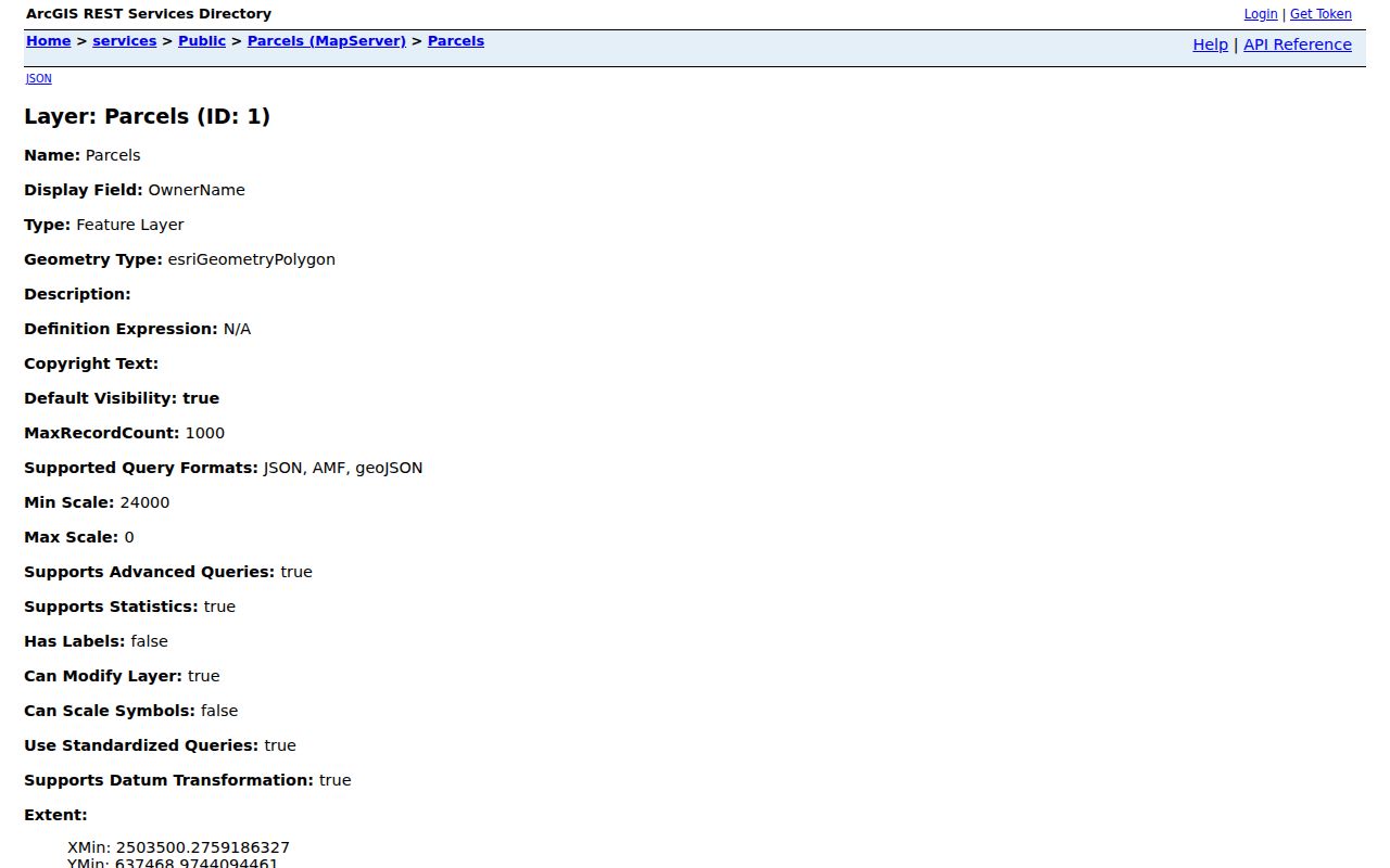
The service is a research fallback, not permission to harvest a street or compile a broad block list. Keep the geometry narrow and record the source date with each result.
Carolina Forest Neighbor Parcel Fields
Before following a name into a deed search, capture only the fields that anchor the parcel. The County's REST inventory identifies the display field as OwnerName and lists owner mailing components, identifiers, legal description, sale date, deed book/page, acreage, lot count, tax district, land-use code, and assessed or market values. Those are parcel-record categories, not a database of household members.
| Parcel field group | How to use it carefully |
|---|---|
| TMS, PIN, PINtext, lot, and LegalDescr | Use them to match the same parcel across the map, a deed, a plat, and a copy request. |
| OwnerName and owner mailing components | Treat as owner-of-record and mail-to information. OwnerZip is not the ZIP of the Carolina Forest parcel. |
| DeedBook, DeedPage, and SaleDate | Use as leads to a matching Acclaim instrument; verify the legal description before connecting it to the parcel. |
| Assessment and land-use values | County tax context only. They do not establish a current household or a legal boundary. |
The County Parcel GIS query form shows the narrow geometry, relationship, output-field, and result-limit controls available for the layer.
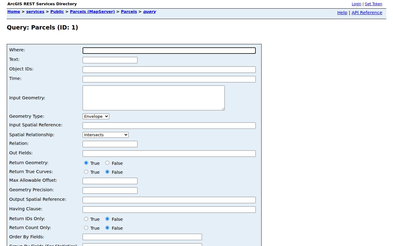
Use only the TMS/PIN, legal description, and deed reference needed to answer an address-specific records question. The layer caps a query at 1,000 records, which is another reason to avoid broad searches.
Mapping a Carolina Forest Block to Records
A block method should move from a known address to adjacent parcels and then to dated recorded ownership. It is more reliable than guessing from a subdivision name or a tax-mailing address. The Horry County authenticated route is the normal starting point after creating a free account. For access trouble, contact the Assessor at 843-915-5040 or IT/GIS at 843-915-5240, visit the County, or make a focused request for a nonexempt County record.
- Locate the target parcel through authenticated Horry Land Records/GIS and save the TMS or PIN, legal description, lot/subdivision, and map date.
- Use the target geometry with the REST layer's
Touchesrelationship, or inspect only a very narrow surrounding area, to identify shared-boundary parcels. - For each adjacent parcel, note the owner field, mailing-field caveat, legal description, DeedBook/Page, SaleDate, and the date of the map source.
- Check a matched recorded instrument in Acclaim before describing a party as a recorded owner at the relevant time.
- For a complete named-street chain, use the Carolina Forest street directory rather than expanding a block query into a street roster.
Tax notices are sent to the owner of record at the address on file. That mailing information can help distinguish an absentee owner from a property address, but it cannot establish who occupies the house. The County's map data also cannot settle a boundary dispute because the parcel fabric is not a survey.
Recorded Deeds Beside a Carolina Forest Parcel
Use the Horry County Acclaim Name Search only after the parcel fields have narrowed the task. Enter a possible owner as last name, first name, without punctuation. Then use Grantee to locate an acquisition and compare the returned legal-description or book/page information with the target parcel. The ROD form documents name-search results since 1984. A result under the right name but the wrong lot or subdivision belongs to a different record trail.
| Acclaim control or result | Block-research use |
|---|---|
| Name and Show Names | Enter last name, first name, with no punctuation; use All, then Grantee or Grantor when checking a specific transfer. |
| Record date, document type, and book type | Limit the result set only after a parcel detail provides a reasonable date or instrument category. |
| Book/Page and Legal Description/Memo | Match these to the TMS/PIN, lot, or subdivision before treating the party as connected to the adjacent parcel. |
| Party role, direct/cross party, consideration | Visible result details that help distinguish a recorded transfer from a loose name match. |
Acclaim result records can also show party names and roles, document and book types, record date, Book/Page, consideration, and legal-description details. Images follow the portal's account or purchase path; the captured research did not establish that an individual image is free. The record identifiers, not a name alone, should drive the next step.
If an image or a certified copy is needed, use the ROD counter or the Register of Deeds copy-request form. It accepts a TMS/PIN, property address, and short description such as a lot or subdivision. ROD-filed instruments have their own copy process, separate from County FOIA. Call the Register of Deeds at 843-915-5430 when page count or search help is needed.
Note: A later grantee-side deed at another property is a possible lead, not proof of a current neighbor address.
Carolina Forest Civic Association, Not a Roster
The confirmed community umbrella organization is the Carolina Forest Civic Association, a 501(c)(4) that says it represents residents, businesses, and organizations in greater Carolina Forest. Its public navigation includes Association/Membership, Board, Committees, Business Members, and Local Contacts, alongside membership documents and a separate username/password member-login area. That is a civic and voluntary contact layer, not evidence that the public can search a household directory.
Carolina Forest Civic Association
Public route: Association, membership, board, committee, business-member, and local-contact information.
Contact: P.O. Box 50133, Myrtle Beach, SC 29579, through the association's public channel.
Limit: No public resident-member or household roster was located; the member area is protected by login.
The Carolina Forest Civic Association public site shows the community and member-access layer available for a local contact question.
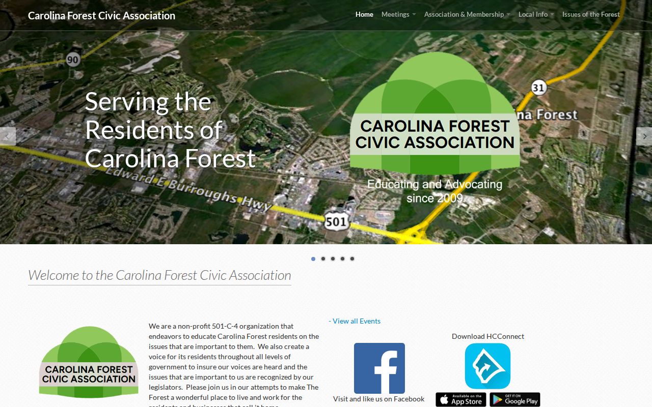
For a particular subdivision's HOA or POA record, use recorded restrictions and amendments at the ROD plus the association's public contact route. Do not assume a neighborhood name provides member names.
Carolina Forest Neighborhood Names Are Geography
County emergency notices identify places such as Avalon, Walkers Woods, Indigo Bay, Summerlyn, The Farm, Spring Lake, Covington Lakes, and Waterford. Those names can help locate a parcel or understand the neighborhood label used in a dated public notice. They do not prove that a person lives there, belongs to a civic association, or appears on a public block list. A 2025 wildfire notice also named specific streets and courts for emergency geography, not for household research.
The Horry County wildfire update is an example of a County notice that uses Carolina Forest neighborhood geography.
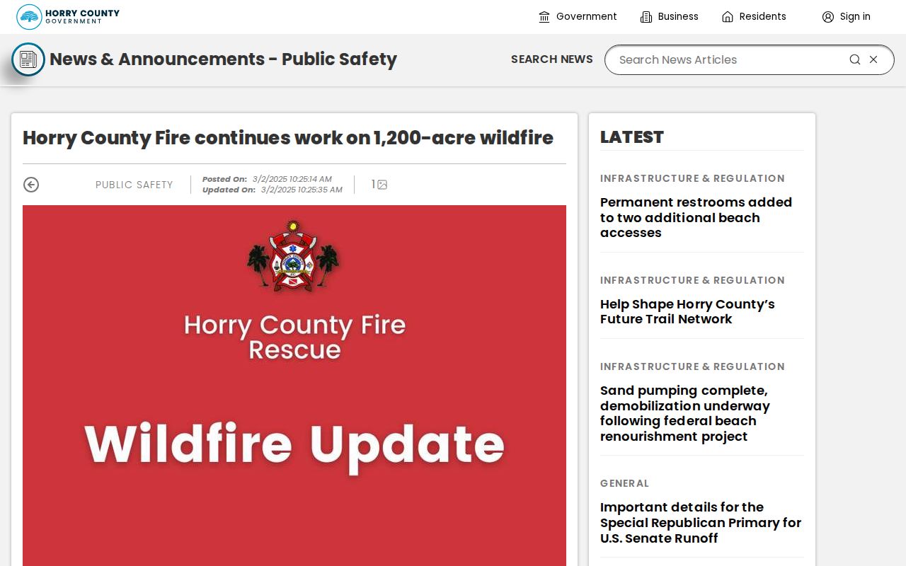
Use the notice only to disambiguate a place name or date. A mapped neighborhood is not a resident list.
The Horry County Police Fifth Precinct announcement similarly describes a current service area affecting much of Carolina Forest, not an address-search source.
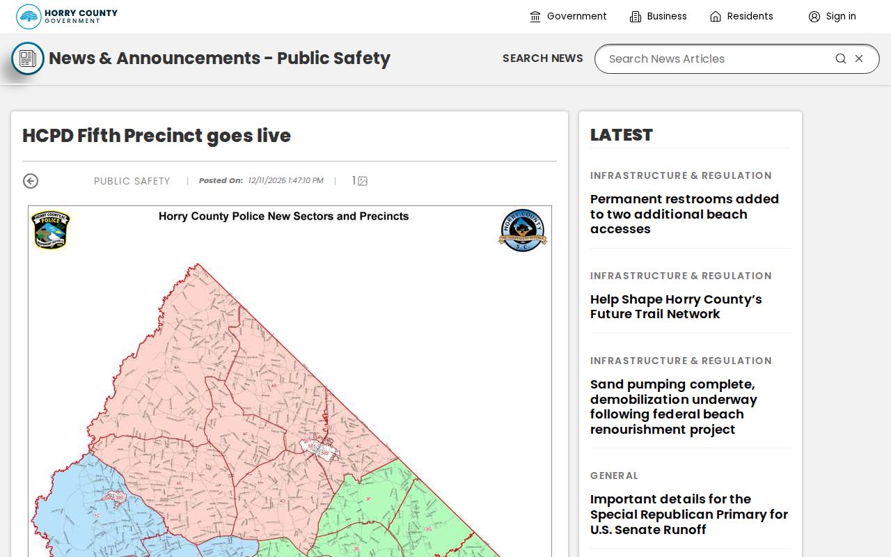
Service-area information can help route a current policing question, but it does not change the property, court, voter, or deed custodian.
Official and Compiled Carolina Forest Neighbor Results
Official records and commercial neighbor-lookup products answer different questions and carry different correction paths. A primary custodian identifies the record type and date it holds. A compiled profile can be stale, merge people with similar names, omit a move, or provide no direct way to correct the originating public record. The safer approach is to verify each parcel, deed, election, or community fact with the named custodian.
| Source category | Strength | Limit |
|---|---|---|
| County parcel and tax records | Current county property context tied to identifiers. | Owner and mailing fields are not proof of occupancy; access now requires a free County account. |
| Register of Deeds instruments | Dated recorded transfer, plat, restriction, or legal-description evidence. | Recorded party status is not a household roster and must match the parcel. |
| Compiled commercial profiles | May offer a lead across varied sources. | Can be stale or conflated and lacks the custodian's correction authority; no service is recommended here. |
The County's business-license verification announcement is another reminder that a focused official lookup is tied to a specific record type, not a general people list.
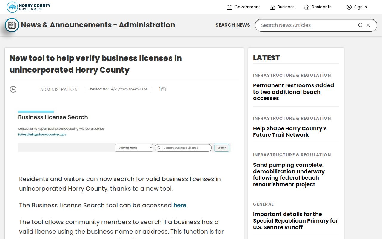
That County tool concerns business-license verification in unincorporated Horry County and should not be repurposed as evidence about a household.
Carolina Forest Neighbor Voter Limits
South Carolina's MySCVotes tool is for an individual to verify their own voter information with County, first name, last name, date of birth, and last four digits of Social Security number. It is not a browse-by-street tool. S.C. Code §7-5-410 provides for public inspection of official registration records, while the State Election Commission describes a separate qualified official-list process. Only a registered South Carolina voter may purchase an official list under the stated rule, and protected-address and use limits still apply.
Contact Horry County Voter Registration and Elections for an individual's own registration, precinct, or county procedure. A nonmatch can reflect changed information, another county, a protected record, or an access limit. It is not evidence that a person never lived nearby. Ballot choices are not part of participation data.
Privacy Limits on Carolina Forest Neighbor Searches
Parcel research does not reveal renters, every household member, utility customers, delivery data, school records, motor-vehicle address data, or protected voter information. A missing address may be intentional. South Carolina's Address Confidentiality Program, under S.C. Code §16-25-130, provides eligible participants a substitute address for certain uses. It does not invite a researcher to reconstruct or bypass a protected address.
The Family Privacy Protection Act, S.C. Code §30-2-50, limits knowing use or obtaining of personal information from public bodies for commercial solicitation. If an address or deed record is inaccurate, ask the actual custodian to correct it: the Assessor for property-tax or mailing-address questions, the ROD for recorded documents, and County or state elections for registration questions. Keep the search focused and record the source date.
Lawful use. Carolina Forest neighbors research can support respectful block awareness, civic curiosity, or a property question. Never use a record to watch, contact repeatedly, harass, intimidate, threaten, or harm another person.