
Carolina Forest Previous Residents by Era
For Carolina Forest previous residents, a source must fit the era. The community is an unincorporated Horry County CDP and a late-1990s planned development, so a current house can have a short street-address history while its land history is much older. The durable thread is the parcel: tax-map number, PIN, lot, subdivision, legal description, and then the recorded instruments that use those descriptions. A name found without that match is only a lead.
| Source | Years It Covers | Where Held | What It Shows |
|---|---|---|---|
| Horry Acclaim name results | Since 1984, as documented by the ROD form | Online search and Register of Deeds | Recorded parties, dates, document types, book/page, and legal-description clues. |
| Land Records and GIS | Current county interface | Authenticated Horry County portal | Present parcel and tax-map context, not a survey or an occupant list. |
| Carolina Forest development material | Late 1990s, including the 1997 agreement | County planning material | Why a present subdivision address may not appear in earlier sources. |
| Hill directories | Conway, 1959-1973; Myrtle Beach, 1959 | HCML collection lead and historical citation | Nearby locality context, not a Carolina Forest roster. |
| Historic land microfilm and census | Historical land; released federal census schedules | HCAC and federal research routes | Earlier legal descriptions and household context when the modern address is absent. |
Begin in the current era when the question concerns a house already in a Carolina Forest subdivision. Move to plats and legal descriptions as the address fades. For a pre-development question, nearby Conway or Myrtle Beach material, county records, and released census schedules are context only after the land has been matched to the earlier place.
Note: A modern street address is not a reliable key for land that predates Carolina Forest development.
Why Carolina Forest Address Records Go Quiet
Carolina Forest began under a 1997 Development Agreement and grew as a master-planned community in the late 1990s. That local history changes an address search. A 1970 directory or a 1940 census can be perfectly useful for the underlying Horry County land, yet contain no present Carolina Forest house number because the house and subdivision did not exist. The absence is a date mismatch, not proof that the land had no earlier owners or households.
Use the current parcel to bridge the gap. Preserve the lot and subdivision wording from a matched deed or plat, then look for older parcel descriptions, roads, rural places, or earlier jurisdiction names. Horry County research can also run under Georgetown District, Kingston County, or older parish terms. The point is to follow the land description, not to force a new community name onto an older record.
Horry GIS historical aerial years from 1998 through 2026 can help date visible development changes. They can show when a road pattern or building footprint appears, but they do not prove a household move or an ownership transfer.
Carolina Forest Previous Residents Start With Parcels
Horry County directs address researchers to its Land Info hub, Land Records, and GIS. Since March 16, 2026, the address-facing Land Records, GIS, and Tax & Assessor applications require a free County account. The unauthenticated Land Records screen offers registration and recovery options rather than a public parcel form. Register for the official route, or use the Assessor at 843-915-5040 and IT/GIS at 843-915-5240 for access or data help.
Record the displayed address, ten-digit Tax Map Number, PIN, legal description, lot, subdivision, map date, and owner of record. A situs address is the place on the ground. An owner mailing address is where the County sends a tax notice. It may be a useful lead, but it is not proof that the owner or any past resident lived at the Carolina Forest property.
- Tax Map Number
- Horry County's ten-digit identifier used to identify and locate property for tax purposes.
- Situs address
- The physical property address, distinct from the mailing address on file for tax notices.
- Legal description
- The lot, block, subdivision, acreage, or other recorded description that helps keep a parcel matched when a street address changes or did not yet exist.
Horry Acclaim and Previous Residents
The Horry County Acclaim Name Search is the recorded-land route after parcel details are in hand. It asks for a name as last name, first name, with no punctuation. Begin broadly enough to capture spelling variations, then use the party role and record details to test whether a hit belongs to the same lot or legal description. The Register of Deeds copy-request form documents name-search results since 1984. Its date control accepting an earlier date is not a promise that the online name trail reaches that far.
| Acclaim field | Use in an address-history search |
|---|---|
| Show Names | Use All first, then Grantee for an acquisition and Grantor for a later transfer. |
| Name | Enter last name, first name, without punctuation; test plausible spelling variants. |
| From Record Date | Defaults to 1/1/1984. Treat the documented since-1984 assurance as the reliable coverage statement. |
| Document Type and Book Type | Narrow only after recording the relevant deed, plat, lien, restriction, or other instrument category. |
| Legal Description/Memo and Book/Page | Compare these results to the target parcel before treating a party name as part of its history. |
A typical Acclaim result exposes the party name and role, first direct and cross party, consideration, document type, book type, record date, Book/Page, and Legal Description/Memo. Image access follows Acclaim's account or purchase process, and the research did not verify an individual document image as free. Capture the result identifiers before asking the ROD for a copy.
The official Acclaim screen in the Horry County Official Records search shows the starting point for a Carolina Forest previous-residents deed search.
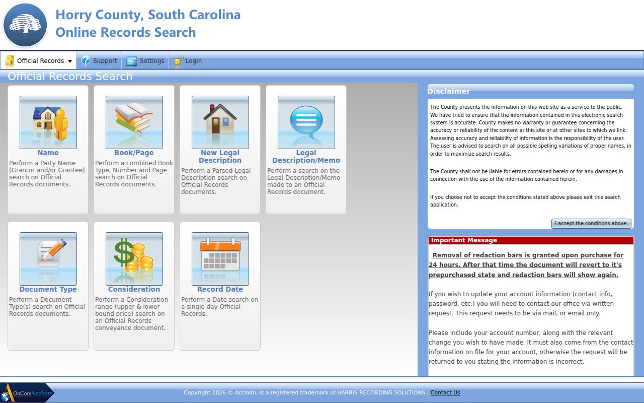
Use the result's book/page or instrument reference, record date, and legal description to request or review the matched record rather than relying on the party name alone.
Horry Deed Records for Carolina Forest
A deed chain follows recorded transfers backward from the current owner. It does not automatically identify every past resident, but it creates the land trail that makes household research defensible. The Register of Deeds holds recorded deeds, plats, restrictions, easements, and related instruments. Its counter and copy process are separate from Horry County FOIA, so a deed request does not need to be framed as a FOIA request.
- Use authenticated Land Records or GIS to capture the current owner of record, TMS or PIN, and legal or subdivision description. If access fails, call the Assessor or IT/GIS, visit the County, or make a narrow request for the relevant nonexempt record.
- Search the owner in Acclaim as a Grantee. Capture the matched deed's record date, document type, Book/Page or instrument number, consideration if shown, and legal description.
- Order or inspect the matched deed through the ROD. The ROD copy-request form accepts the property address, TMS/PIN, and brief lot or subdivision description.
- Treat the seller named in that matching deed as the earlier transferor. Search that person as a Grantee to locate the prior acquisition, then match the parcel description again.
- Repeat until the online trail no longer resolves the correct parcel. Switch to ROD books and staff help, then HCAC historic land microfilm and state archival guidance for older work.
At every handoff, save the matched parcel description before changing the search name. A Carolina Forest deed chain is reliable only when the same land, not merely the same surname, carries through the sequence.
- Grantor / grantee
- The grantor transfers an interest. The grantee receives it. These labels help set the direction of a recorded title search.
- Chain of title
- A sequence of matched recorded transfers for the same parcel, not merely a list of people with similar names.
- Plat
- A recorded map that can connect a subdivision lot or block to the legal description used in deeds.
Keep a simple chain log with the search date, party role, record date, document type, Book/Page or instrument number, and matched legal description. Mark each step as confirmed only after the lot or subdivision language agrees. This prevents a common name from pulling a Carolina Forest address-history search onto a different Horry County parcel.
Past Residents Beyond Horry's 1984 Index
When a Carolina Forest previous-residents search reaches the documented online name boundary, preserve the last confirmed legal description and take it to the correct custodian. The ROD counter and mail-copy route remain the first land-record fallback. The County form lists normal-copy, plat, and certification choices, and it asks for the details already gathered from the chain. Call the ROD at 843-915-5430 for page count or search help before mailing a request.
The Horry County Archives Center at Coastal Carolina University holds 266 microfilm rolls of historic land material, including colonial land grants and plats. That is a documented older route when an address was not yet a Carolina Forest subdivision address. SCDAH and historical-repository guidance can help with records under prior county or district terms. No courthouse-loss event or Carolina Forest street-renumbering project was verified, so neither should be used to explain an unconfirmed gap.
Note: The date widget's early range does not replace the ROD's documented since-1984 name-search assurance.
Carolina Forest Address Records Stay Linked
Plats and recorded restrictions are especially useful in planned Carolina Forest subdivisions. A present street number can be formatted differently, added after development, or absent from an older record, while a lot, block, subdivision, and plat reference can continue through the deed trail. Search Acclaim by legal description or book/page when a name search leaves too many matches. Compare deed Book/Page, lot wording, and the matched plat before connecting any person to the property.
Property-map geometry provides tax context, not a legal survey. The County says its parcel fabric is for taxing purposes. A visible line or nearby parcel is a research lead only. For a boundary conclusion, use the recorded plat, legal description, survey, or qualified title professional. That distinction prevents a house-history search from turning a tax-map assumption into a claim about a property's legal edge.
Carolina Forest Previous Residents as Households
Ownership and occupancy are different records questions. For a historic household, first identify the pre-development locality from the parcel trail. Then ask Horry County Memorial Library or the Thompson Heritage and Research Library which volumes and databases are available for that locality and year. The documented Hill's Conway City Directory lead covers 1959-1973, and the documented Myrtle Beach title is from 1959. Neither is a verified Carolina Forest directory or a guaranteed reverse directory. The collections themselves are handled on the Carolina Forest city directory page.
Pair a directory, newspaper, or archival lead with the released federal census for the right era. Federal schedules become public under a 72-year release interval. Transcribe the source's name spelling, year, place, page, and address wording, then compare it with the legal-description trail. Historic newspaper notices are leads, not final proof. Horry County Historical Society's searchable newspapers contain material after 1815, and HCML points patrons toward historic newspapers, FamilySearch, HeritageQuest, and archive referrals.
- Write down the deed's date and the historical locality that fits the parcel at that time.
- Check a nearby directory or newspaper only for that locality and year, preserving the publication, page, and printed wording.
- Compare the household with the released census schedule for the appropriate decade.
- Use a cemetery, obituary, probate, or court record to corroborate a departure, death, estate, or family connection where public access allows it.
Carolina Forest Trail Records and Evidence
Some past-resident questions end with a death, estate, or divorce record rather than another deed. Horry County Probate Court is the local estate and marriage-license path, while the Clerk holds divorce case files. South Carolina DPH issues state birth and death certificates and marriage or divorce reports within its stated date ranges. Eligibility limits matter: certified vital copies are not open for general browsing, and noneligible requesters may receive only the limited information state law permits.
The South Carolina Vital Statistics code chapter is the authority for the access limits that apply to restricted vital records.
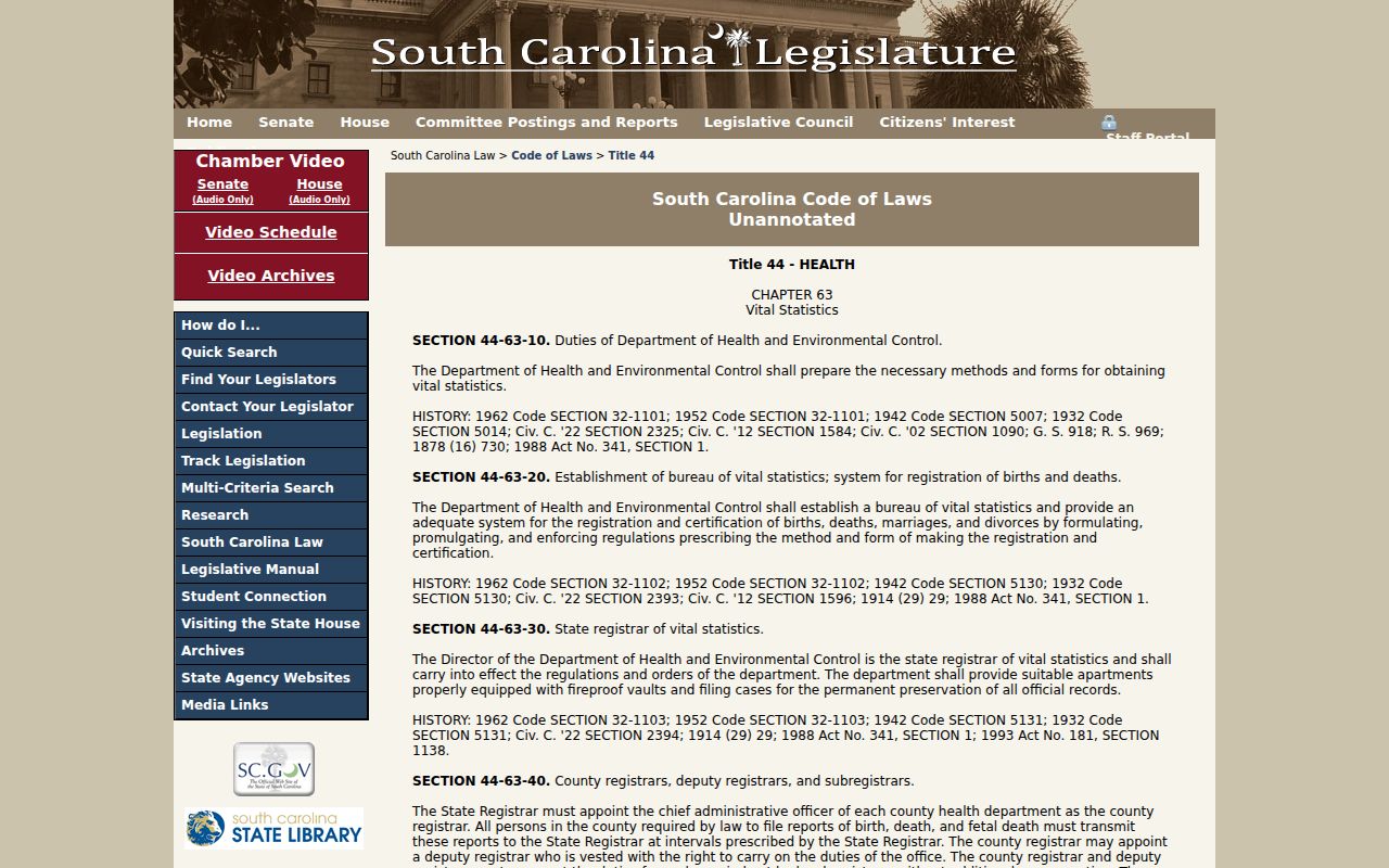
The statutory route is useful for deciding whether to request a record or instead use an open historical source such as a dated newspaper, cemetery inventory, recorded probate item, or released census schedule.
The DPH divorce-report request page shows the official state route for a qualifying request.
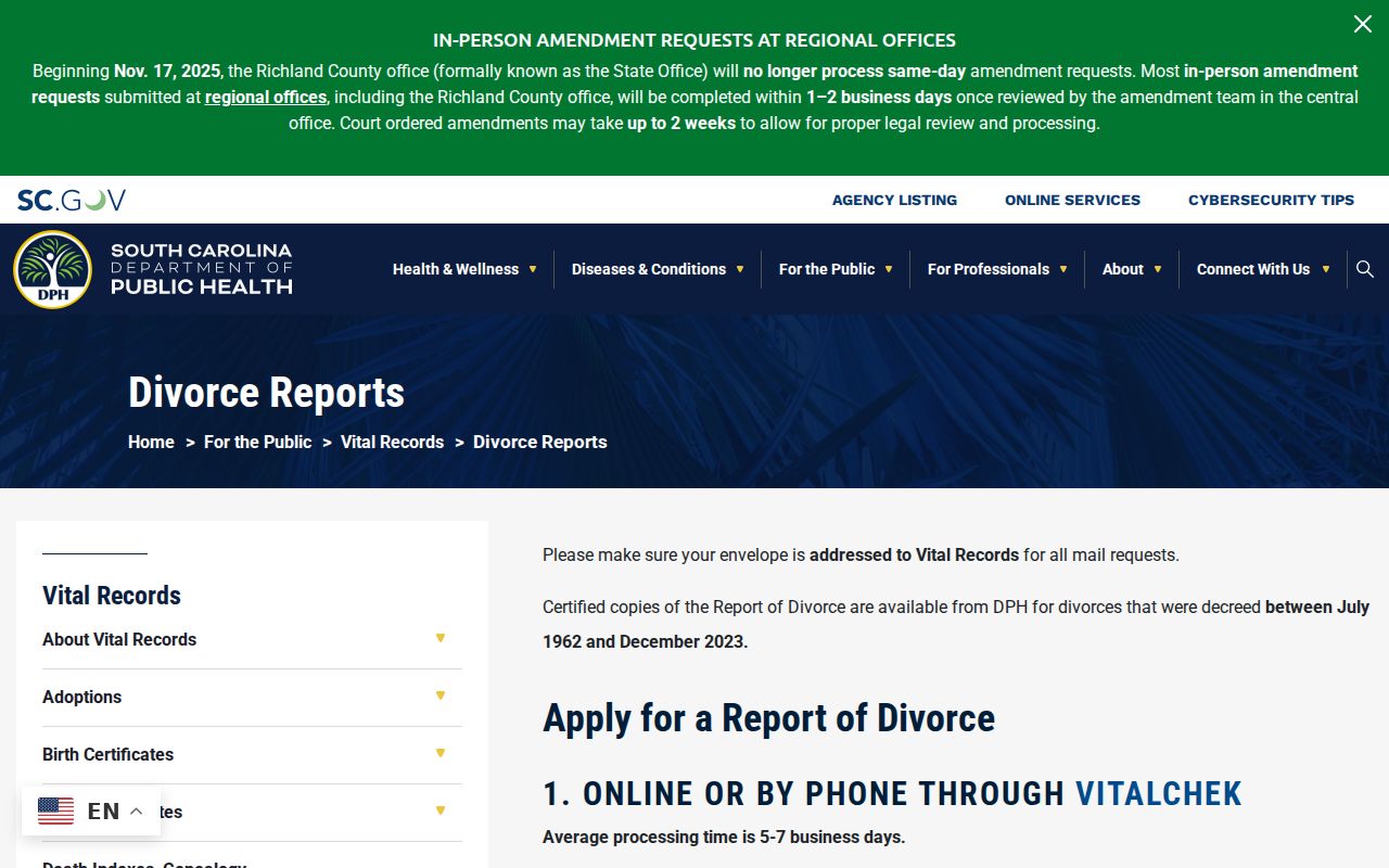
A state request is not a shortcut around eligibility rules, and a reported event should still be matched to the right person and parcel chronology.
Lawful Carolina Forest Previous-Resident Research
Previous residents research is best suited to house history, family history, heir research, and checking a recorded property trail. Records have dates, gaps, name collisions, and protected fields. Verify an important result with the office that holds it, keep a source log, and stop when a record is sealed, redacted, or protected.
A protected or absent address is not an invitation to fill the gap with a guess. South Carolina's Address Confidentiality Program provides a substitute address for eligible participants in specified circumstances. Respect that limit and use the custodian's correction route when a public record appears wrong.
Lawful use. Use Carolina Forest previous-residents records for respectful personal or historical research, never to watch, harass, threaten, or harm a living person. South Carolina's stalking and harassment law is S.C. Code §16-3-1700 et seq.