
Trace Carolina Forest Streets by Address
For an address in unincorporated Carolina Forest, follow the land record before trying to connect a name to a place. The useful chain is County addressing, parcel information, a Tax Map Number or PIN, the legal description, and then the recorded deed or plat. Each item has a separate job. The parcel record supplies current tax context. The Register of Deeds record identifies parties to a recorded transaction. A tax mailing field can be a lead, but it is not proof that its recipient lives at the Carolina Forest property.
Start with one house number, unit where applicable, and street name. A broad scan of a whole street can mix similar addresses, subdivisions, and ownership dates. Keep the displayed address, map date, lot or subdivision, TMS or PIN, and legal description together. Those details make a Carolina Forest street search repeatable when the next record uses a plat or lot rather than the same street formatting.
- Confirm the target address and use Horry County Land Info to reach the County’s property tools. The property-address applications require a free County account.
- Record the parcel identifiers, legal description, lot, and subdivision cues shown for the matched Carolina Forest property. Keep the map as tax context, not as a survey.
- Search the assessed owner in the Horry County Acclaim Official Records index. Match the returned deed or plat to the parcel’s legal description.
- Use the matched grantor and grantee names to follow recorded transfers, not to infer a household. Ask the Register of Deeds for a copy when the image or older material is needed.
- For an older Carolina Forest address question, compare dated library, newspaper, archive, or census evidence only after the land description fits. MySCVotes is an individual verification login, not a public street-browsing tool.
Note: a matched parcel and deed provide a sound ownership trail, but they do not establish every current occupant of a Carolina Forest address.
Carolina Forest Street Access Changed
Horry County changed the online route for property-address information in March 2026. Its notice says that GIS, Land Records, and Tax & Assessor platforms showing property addresses require a free County user login beginning March 16. The unauthenticated Land Records screen exposes Username and Password, Sign In, registration, and recovery options rather than a parcel search form. That is an access change, not proof that land records became secret.
When registration is not practical, use the right County contact for the narrow question. The Assessor handles property-address questions at 843-915-5040, and IT/GIS handles application or data questions at 843-915-5240. The Register of Deeds counter and copy-request route are better choices for recorded instruments. A focused County request may be appropriate for a nonexempt administrative record, while filed deed records follow the Register of Deeds process instead of a general FOIA request.
Horry County Land Info is the official gateway shown in this Carolina Forest address-record image.
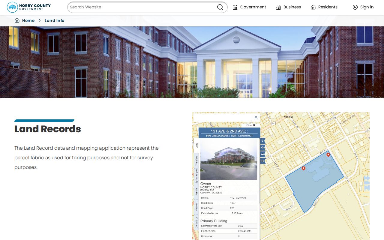
The hub links the Land Records and GIS routes, but the current account gate still applies to property-address views.
Carolina Forest Street Parcel Fields
Horry’s authenticated consumer applications were not available for field inspection, so their post-login search modes should not be guessed. The public County parcel REST layer does document a limited technical fallback for a well-scoped parcel question. It describes its display field as OwnerName, caps a query at 1,000 records, and supports geometry-based requests. That ceiling is not an invitation to collect a street-wide list.
The most useful query controls are the ones that keep a Carolina Forest address inquiry narrow. A target parcel polygon and the Touches relationship can identify parcels sharing a boundary. A legal description, TMS or PIN, deed book, and deed page are the better bridge from the map to the deed index.
| County GIS query field | Format | Use for a scoped question |
|---|---|---|
| Where | Text expression | Applies a limited attribute condition. |
| Input Geometry | Map geometry | Uses the target parcel or a narrow area. |
| Geometry Type | Selector | Offers envelope, point, polyline, polygon, or multipoint. |
| Spatial Relationship | Selector | Includes Intersects, Touches, Within, and other map relationships. |
| Out Fields | Text | Requests only the fields needed for the parcel question. |
| Result Record Count | Number | Controls pagination within the service limit. |
Horry County’s GIS parcel-search entry is pictured below for this Carolina Forest street-directory research.
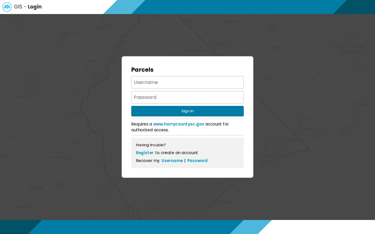
The sign-in screen underscores why the REST fields are context for a single parcel, not a substitute for the County’s authenticated property interface.
Carolina Forest Street Record Layers
Address-keyed sources answer different parts of a Carolina Forest street question. The table separates the land, recorded-document, and address-assignment channels so a mailing address or a map label does not get mistaken for a household record. It also keeps the unincorporated setting clear: County offices supply the functions a city office might provide elsewhere.
| Address record | Custodian | Useful result | Access boundary |
|---|---|---|---|
| Land Records and property tax context | Horry County | Parcel context and owner-of-record mailing lead | Free County account for online property-address views |
| GIS parcel map | Horry County IT/GIS | Parcel fabric, location, and tax mapping | Tax mapping, not a boundary survey; address view is gated |
| Recorded deed, mortgage, plat, or restriction | Horry County Register of Deeds | Parties, recording date, document type, and legal-description clues | Acclaim index and ROD copy route; name-result baseline documented since 1984 |
| Address assignment | County Planning and E911 | Road, structure, subdivision, and PIN mechanics | Administrative process, not an occupancy record |
| Code or permit file | Horry County Code Enforcement | Construction or compliance timing where obtainable | No public history-search fields were verified |
A Carolina Forest street directory should not add a row for a public street-by-street voter roster. South Carolina’s individual MySCVotes tool requires personal verification fields. Inspection and official-list ordering have separate statutory and requester rules, and neither route turns a street name into a general household list.
Note: record the date on every result because a deed, assessment, and map image may describe different points in time.
Walk Carolina Forest Deed Chains
After a parcel is matched, Acclaim is the recorded-document trail. The County’s copy form documents name-search results since 1984, and the Name Search defaults its From Record Date to January 1, 1984. Enter a party using the County convention, Last, First with no punctuation. Begin with All if the role is unknown, then use Grantee to locate an acquisition deed within a reasonable date range.
A result needs a second match before it belongs in a Carolina Forest street history. Compare the document type, record date, Book/Page or instrument number, consideration when displayed, and especially the legal description or memo against the target lot, block, subdivision, unit, or acreage. The grantor on a matched deed is a prior recorded transferor. Search that person as a Grantee for an earlier acquisition and repeat the description check.
Plats and recorded restrictions can solve a street-format dead end because planned-subdivision lot and block information may be more stable than a house number. The Register of Deeds copy form accepts a property address, TMS or PIN, and brief description when requesting an instrument. For earlier land material outside the defensible online baseline, ask the office about books, plats, and copies. The historical collections are discussed in the Carolina Forest City Directory record trail.
Carolina Forest Street Ownership Fields
One field can look more conclusive than it is. The County parcel service includes owner and owner-mailing components such as OwnerStreet, OwnerCity, OwnerState, OwnerZipCode, and OwnerZip. Those fields describe where tax mail is directed. An owner may use a post-office box, an entity address, or another address. OwnerZip is not the ZIP code of a Carolina Forest parcel.
Use the parcel identifiers to test a result instead. The County defines a Tax Map Number as a ten-digit identifier assigned for property identification and location. Save it with the legal description, lot, PIN, deed-book reference, and source date. That record set supports careful property research without making a claim about who is physically present at the address.
- Parcel
- A mapped unit of land used in the County tax system. It is useful for research but is not a surveyed boundary opinion.
- Situs address
- The street location of the property on the ground, distinct from the address where the owner receives tax mail.
- Legal description
- The lot, block, subdivision, or other land wording that ties a deed to the correct property.
- Plat
- A recorded map that can connect a lot or subdivision reference to a parcel.
- Criss-cross directory
- An older address-arranged directory format. It can be historical evidence when its date and place fit.
Carolina Forest Address Assignment Trail
Horry County Planning and Zoning performs street naming and E911 addressing for unincorporated areas, including the Carolina Forest setting. The administrative form is useful because it records the connection among an applicant, PIN, subdivision, road, access, and structure. It is not an online resident search. When a historical record uses a different address format, stabilize the TMS or PIN, lot or subdivision, legal description, and recorded plat before asking whether an address-assignment or street-name record exists.
The County’s form has fields for a new or existing structure, mobile-home registration, an additional residence, road details, legal access, and a site plan where required. It directs applicants to addressing@horrycountysc.gov and states a review period of three to five business days. Address questions can also go to 911 Addressing at 843-915-5345.
Horry County Planning and Zoning is the source represented in this Carolina Forest address-assignment image.
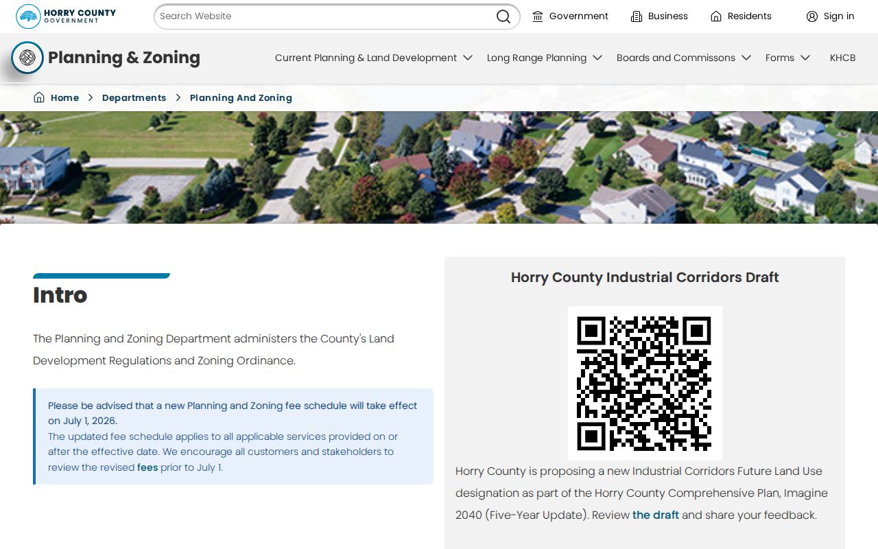
The County, rather than a Carolina Forest municipal office, is the local authority for the documented addressing process.
Carolina Forest Street Construction Records
For construction timing, use unincorporated Horry County’s Code Enforcement office, not an assumed Carolina Forest city department. The office issues permits and inspects construction and improvements in unincorporated County areas. Its online route supports invoice payment and scheduling for cases already submitted through the office. The listed scheduling categories include residential new construction, alteration, repair, townhouse work, and mobile-home new construction.
A focused request works better than a broad address sweep. Give the street address, TMS or PIN, approximate date, permit type, subdivision or lot, and the precise question. Code Enforcement can be reached at 843-915-5090. The research did not locate a public permit-history search form, its fields, or historical coverage, so a Carolina Forest result cannot be promised in advance. A permit or inspection file can place work in time; it does not establish occupancy.
Carolina Forest Streets Before Development
Carolina Forest’s late-1990s planned-development history creates the most important address-continuity limit. County planning describes a 1997 Development Agreement and later major subdivisions. A current Carolina Forest Boulevard or subdivision address may therefore have little or no older street-address trail even though the land itself has a much older history. Work backward through the parcel, plat, and legal description instead of declaring the older record trail empty.
No authoritative Carolina Forest street-renumbering or street-name-change project was found in the research. Do not make one up to explain a mismatch. The documented hazards are new subdivision creation, changing plat language, different postal labels, and the difference between a mailing address and a situs address. The Carolina Forest Boulevard widening completed in April 2025 can change a current map’s road geometry, but it did not create an address renumbering or deed-title change.
Older Horry land research may require the Register of Deeds counter, historic books, or the Horry County Archives Center’s 266 microfilm rolls of land records, including colonial grants and plats. Nearby historical directories and newspapers can supply dated context, but they cannot substitute for a matched legal description.
Note: an absent modern street address in an older source can be normal for Carolina Forest and is not proof that the underlying parcel lacked history.
Carolina Forest Street Search Limits
A street directory is not a complete list of people at every address. Parcel records identify an assessed owner and tax context. A deed identifies recorded parties. County GIS shows tax-map geometry, not a social relationship or a survey boundary. Motor-vehicle, utility, delivery, school, protected-voter, sealed-court, and ACP address information are not substitutes for these records. A missing result can reflect a different record type, a date change, a protected address, or an access rule.
Lawful use. Use Carolina Forest address records for a respectful personal, property, or historical question. Do not use any record to stalk, harass, intimidate, or harm another person, and do not try to work around a protected or confidential address.
For a correction, contact the custodian that owns the record. The Assessor handles property-tax and mailing-address questions, the Register of Deeds handles recorded-document questions, and the County’s address staff handles addressing matters. The record date and custodian are more dependable than a broad street-name claim.