
Carolina Forest ZIP Code Coverage
29579 is the verified core ZIP for Carolina Forest addresses. Horry County lists Carolina Forest Library, the Recreation Center, Fire Station 39, Carolina Forest Elementary, Carolina Bays polling site, and Carolina Forest High School with Myrtle Beach, South Carolina 29579 addresses. County locator results also returned representative Carolina Forest Boulevard addresses with that postal label. These are strong address-level confirmations. They do not turn the informal community into an incorporated city or prove that every nearby address shares the same delivery code.
| ZIP | Verified area or context | Post Office / postal label | Research note |
|---|---|---|---|
| 29579 | Verified core at County Carolina Forest facilities on Carolina Forest Boulevard and Gardner Lacy Road | Myrtle Beach, SC 29579 on tested County addresses | Confirm each target through USPS; the postal label is not a municipal boundary. |
| 29526 | Possible adjoining northern-road context near the informal planning-area edge | Full Carolina Forest delivery coverage not verified | Use an address-by-address USPS result before treating it as a Carolina Forest code. |
| 29577 | Older outlier County-document label only | Current facility and locator evidence did not establish coverage | Do not use as a Carolina Forest coverage claim without a verified target result. |
A ZIP code directory can state the difference between a verified core and a possible edge. It should not promote an older document label into current delivery coverage. For 29526, the research found northern International Drive road context, not a County facility address or a postal-boundary map proving community-wide service.
USPS ZIP Code Lookup is the official address-checking tool pictured for this Carolina Forest ZIP research.
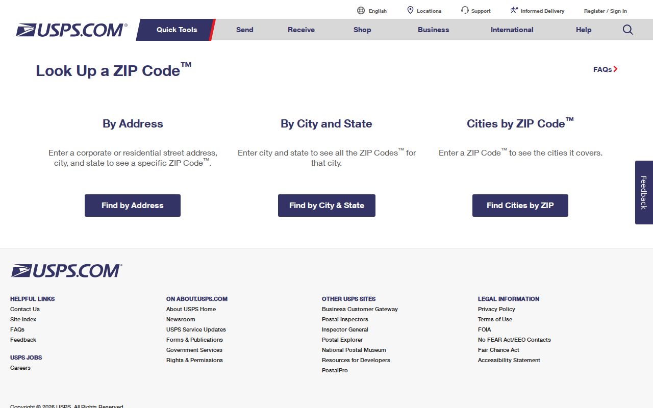
Use the USPS result for the particular delivery address rather than extending a nearby result across a subdivision or road corridor.
Verify Carolina Forest ZIP Addresses
A ZIP code is useful for confirming a specific mailing address, but research did not document a ZIP-wide public owner or household directory for Carolina Forest. The County locator’s ZIP field helps locate a particular address. The authenticated Land Records and GIS interfaces were not available for post-login field inspection, so they must not be described as supplying a ZIP filter. The reliable process narrows one known address and then follows the parcel trail.
- Enter the full address in USPS ZIP Code Lookup and save the delivery ZIP and postal-city result exactly as returned.
- Use the Horry County locator to normalize the address. Its ZIP and ZIP4 fields are location inputs, not a directory search for a whole code.
- After creating the required free County account, use Land Records or GIS to locate the matching parcel and record the TMS or PIN, lot, subdivision, and legal description.
- Use those parcel details in the Register of Deeds trail. A matched deed, plat, or restriction is more stable than searching a postal code alone.
- When the question becomes street-level rather than postal, continue with the Carolina Forest Street Directory workflow.
For a person’s own voter registration, MySCVotes uses County, first and last name, date of birth, and the last four digits of Social Security number. It is not a public ZIP-browsing record. The qualified official voter-list process has separate requester, fee, protected-address, and use limits.
Note: a matching postal code narrows an address question, but it does not confirm a current residence, parcel ownership, precinct, or school assignment.
Search Carolina Forest ZIP Context
Horry County’s official locator documents the fields below. They are valuable because they disclose the difference between locating one address and searching a population. A user can combine the street location with city, state, ZIP, or ZIP4 as needed. The County did not document the locator as a ZIP-wide resident or property directory, and the property tools behind the login gate should not be assigned unverified filters.
| County locator field | Format | Appropriate purpose |
|---|---|---|
| Address or Place | Text | Starts a particular location search. |
| Address2 and Address3 | Text | Adds address detail where supplied. |
| Neighborhood | Text | Provides a local-place clue, not a household roster. |
| City, County, and State | Text fields | Normalizes the jurisdiction and postal context. |
| ZIP and ZIP4 | Text fields | Refines a specific delivery address. |
| Single Line Input | Text | Accepts a combined location entry. |
The next research key is the parcel identifier, not OwnerZip. The public GIS parcel layer labels OwnerZip and OwnerZipCode as owner mailing components. They are not proof of the ZIP assigned to a Carolina Forest property.
Carolina Forest Postal Labels Differ
Myrtle Beach can appear as the postal city for a Carolina Forest delivery address while the record custodian remains Horry County. Carolina Forest is an unincorporated, master-planned Horry County community and a Census-designated place, not a municipality with a city recorder or clerk. Postal terminology helps mail arrive. It does not create a separate municipal government or change which office holds deeds, parcel context, addressing, or County administrative records.
The Census identifies Carolina Forest as CDP GEOID 4511833 and reports a 2020 Census population of 23,342. That Census geography is distinct from the broader County planning-area descriptions and from a USPS delivery boundary. Keep those geographies separate when a search uses Carolina Forest, Myrtle Beach, a subdivision name, or a County label.
Census TIGERweb’s Carolina Forest CDP record is shown in this ZIP geography image.
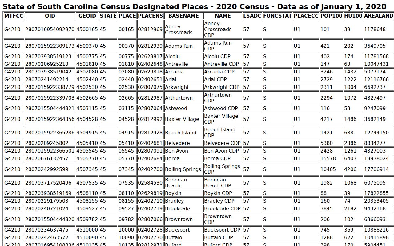
The Census view supplies statistical CDP context, not an official USPS delivery map or a boundary for County land records.
Carolina Forest ZIP Parcel Research
Once USPS and the County locator agree on an address, the parcel becomes the important research object. Horry County’s Land Records and GIS apps are the official property routes, linked through Land Info. The County says its parcel fabric is used for taxing purposes, not surveying purposes. Treat a map click as a research lead, then confirm a lot, subdivision, legal description, and recorded document before drawing a conclusion about the land.
Since March 16, 2026, property-address information in Land Records, GIS, and Tax & Assessor applications requires a free County login. If the online route is unavailable, the Assessor can address property questions at 843-915-5040 and IT/GIS can address application or data questions at 843-915-5240. For a recorded deed or plat, use the Register of Deeds index, counter, or copy-request path rather than assuming a ZIP search will supply the needed record.
Horry County Land Records is the account-access screen shown for this Carolina Forest ZIP research.
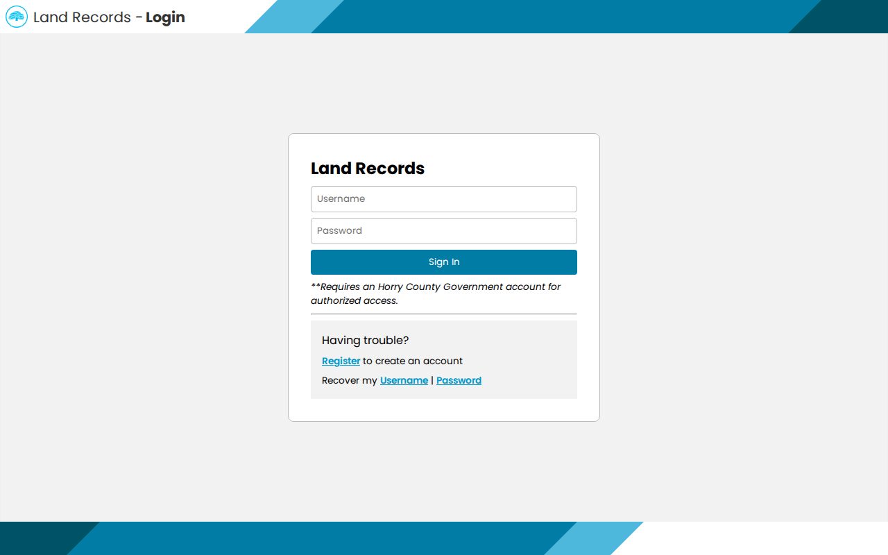
The displayed sign-in route confirms the access requirement; it does not reveal the authenticated interface’s unverified search fields.
Carolina Forest ZIP Field Limits
Property records can display several address concepts at once. The situs address is the property’s place on the ground. The mailing address is where the County sends tax notices to the owner of record. The legal description is the lot, block, subdivision, or other land wording that keeps the deed trail stable. An owner mailing field may use another ZIP and can be a useful lead, but it does not make that code the property ZIP or prove where the owner lives.
Tax Payer Services states that real-property notices go to the owner of record at the address on file and identifies a Tax Map Number as a ten-digit property identifier. Save that number with the legal description and source date. A clear record log avoids mixing a Carolina Forest delivery code, a tax mailing code, and a deed description.
- ZIP code
- A USPS mail-routing code for a delivery area. It does not define a government jurisdiction or parcel boundary.
- ZIP+4
- An added delivery detail used with the five-digit ZIP for a more specific address or delivery segment.
- PO-box ZIP
- A code used for post-office-box delivery. It may differ from the physical address code.
- Unique ZIP
- A code assigned to a single organization or institution. No Carolina Forest unique ZIP was verified in the research.
- Carrier route
- A USPS delivery grouping. It is not a city limit, ownership record, or neighborhood boundary.
Horry County Real Property Tax information appears in this Carolina Forest ZIP field image.
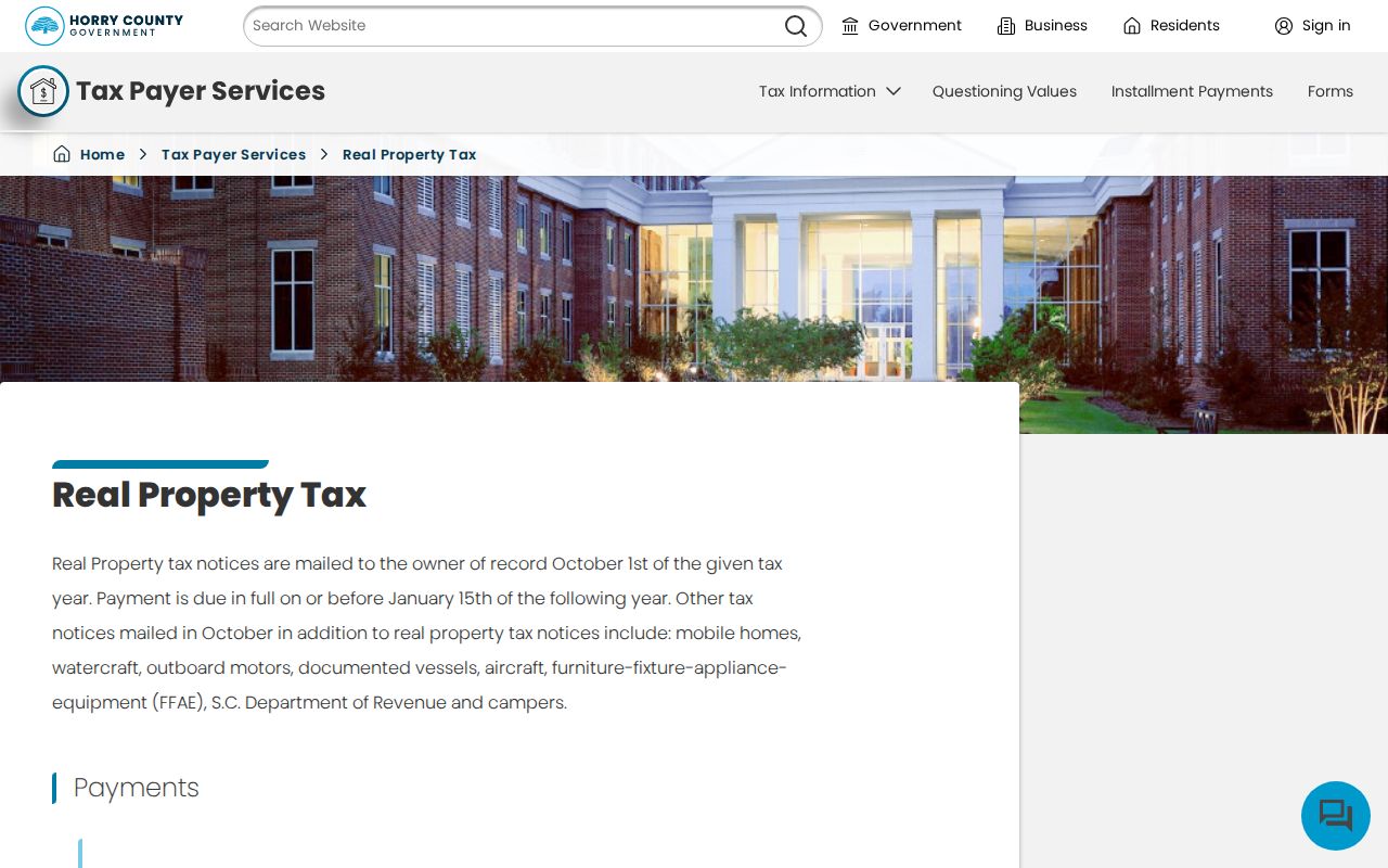
The tax source supports the owner-of-record mailing and Tax Map Number distinction, not an occupancy claim.
Carolina Forest ZIP Address Assignment
Horry County Planning and Zoning performs street naming and E911 addressing in unincorporated areas. Its Address Request Form explains how a new official address is built from the parcel PIN, subdivision or mobile-home-park information, road and access details, structure information, and supporting site material. The form is an administrative process, not an address directory. It can help explain why an address record needs a parcel and legal-description match.
The form includes reasons such as new structure, existing structure, mobile-home registration, additional residence, and other. It asks about roads, land division, legal access, setbacks, and a site plan when required. Applicants submit it to addressing@horrycountysc.gov; the form states a three-to-five-business-day review period. E911 Addressing answers address questions at 843-915-5345.
For an older record with a changed-looking address, stabilize the TMS or PIN, lot, subdivision, legal description, and plat first. Then ask the address custodian whether an assignment or street-name record exists. That method is more reliable than assuming a postal-code change explains the difference.
Note: Carolina Forest has no documented city-addressing office because it is unincorporated Horry County.
Carolina Forest ZIP Boundaries
USPS delivery boundaries and Census ZIP Code Tabulation Areas are not the same thing. The Census says ZCTAs approximate USPS ZIP delivery areas and do not define the actual delivery boundaries. That matters at Carolina Forest’s edges, where an informal community area, County planning geography, a postal-city label, and a CDP can all overlap without using the same line.
No authoritative source in the research established a Carolina Forest ZIP realignment, a ZIP split, a street renumbering, or an annexation history. Carolina Forest is unincorporated, so a city-annexation story would be inaccurate. The 2025 Carolina Forest Boulevard widening can change map appearance and road access, but it did not establish a delivery-code change or alter deed title.
Census guidance on ZIP Code Tabulation Areas is represented in this Carolina Forest ZIP boundary image.
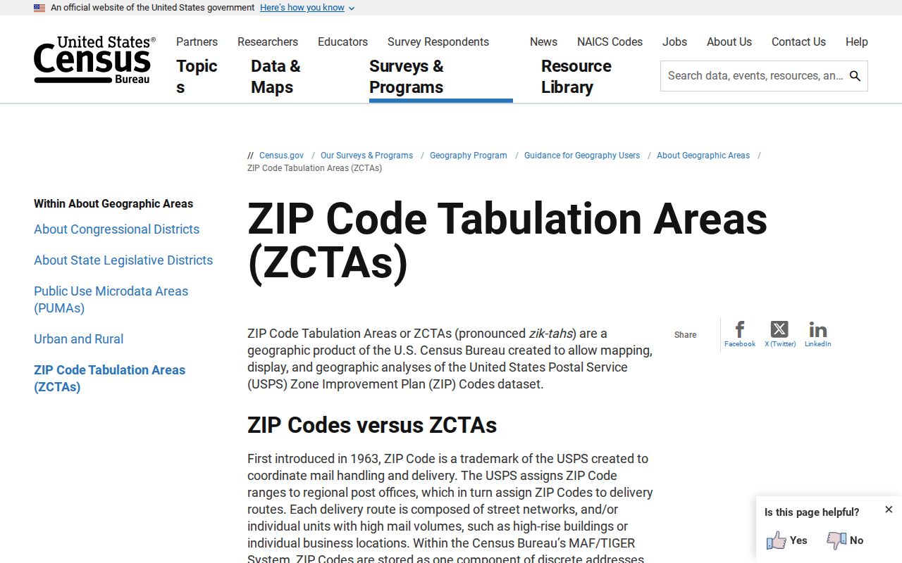
Use a ZCTA for statistical context only, then return to USPS for the delivery ZIP of the address being researched.
Carolina Forest ZIP Research Limits
The ZIP code directory ends with the same boundary it begins with: a ZIP is a mail-routing aid. It is not a voter precinct, a court jurisdiction, a parcel number, a school zone, a historic-neighborhood line, or a complete resident list. A postal-city label such as Myrtle Beach does not replace Horry County as the relevant records custodian for unincorporated Carolina Forest.
Use a verified address. Confirm the delivery ZIP with USPS, preserve the parcel and legal-description trail, and stop when a record is protected or a custodian’s access rule applies. Do not use address information to stalk, harass, intimidate, or harm anyone.
If an official record is inaccurate, contact its custodian. The Assessor handles property-tax and mailing-address questions, Planning and E911 handle address-assignment questions, and the Register of Deeds handles recorded documents. That correction path is stronger than trying to repair a mismatch by changing a ZIP label.